2016 Demographic Profile Public Health Sudbury & Districts
This Socio-demographic profile reflects information from the 2016 Census of Population conducted by Statistics Canada to provide a snapshot of Canada’s population. The census is conducted every five years in Canada.
This profile includes information on demographics and socioeconomic status at the Census Division level for Greater Sudbury, Manitoulin District, and Sudbury District, and where practicable, includes Sudbury and districts and provincial comparators for users’ convenience.
In 2016, all households in Canada were asked to fill out what’s commonly known as the “census short form” to collect data on basic demographics (for example, age, sex), family and household characteristics. Additionally, one quarter of households received the “census long form,” which gathered further information on topics such as ethnic origin, languages spoken, immigration, housing, education, and employment. Income data were obtained from personal income tax and benefits files. See Statistics Canada for more detailed information about the 2016 Census of Population.
Please refer to Table 2.7 for a list of Census Subdivisions within each of the three Census Divisions in the Public Health Sudbury & Districts service area. Information on individual Census Divisions and Census Subdivisions are available at Statistics Canada’s Census Profile webpage.
- Infographic
- Population
- Language
- Education
- Marital status
- Families and households
- Indigenous Population
- Non-Official Languages Spoken at Home
- Mobility
- Ethnic Origin
- Immigration Status
- Income
- Housing
- Journey to work
- Appendix A: Glossary
Our Service Area
This profile highlights the demographic characteristics of the residents living in the geographic area served by Public Health Sudbury & Districts, an area of approximately 46,550 square kilometres in northeastern Ontario. It is the fourth largest health unit catchment area in Ontario.
Figure 1.1: Map of the Public Health Sudbury & Districts Catchment Area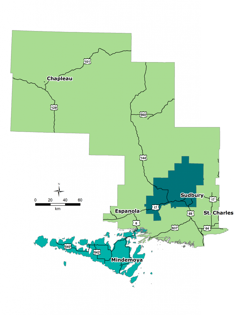

Source: Spatial Data: Statistics Canada, Cartographic Boundary Files 2011, accessed online via Statistics Canada’s website, September 2012.
This item was last modified on January 11, 2019